User's Guide
User's Guide
1. Open Fukushima City Barrier-Free Map
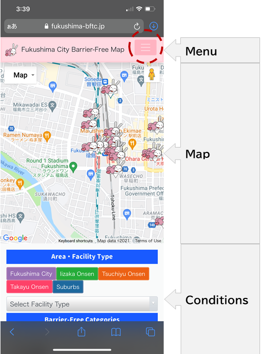
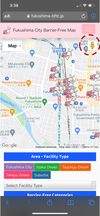
The Fukushima City Barrier-Free Map (mobile version) shows three vertical sections: “Menu”, “Map”, and “Conditions”. When you open the map it will be centered on barrier-free facilities around Fukushima Station. The location of each facility is indicated by a Momorin icon. Momorin is the mascot character of Fukushima City.
Click the menu button to open (and close) the menu to display a list of available facilities.
2. Filter by Barrier-Free Category
Select barrier-free category icons to show facilities that meet those conditions.
3. Select an Area
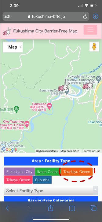
Select an area button under the map to display one of the following areas:
- Fukushima City
- Iizaka Onsen
- Tsuchiyu Onsen
- Takayu Onsen
- Suburbs
4. Select a Facility
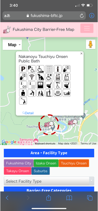
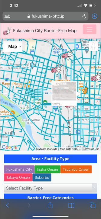
Select a Momorin icon on the map to see the barrier-free support of the facility.
- Select the “Detail” button to see more detailed information about the facility.
- Select the “Route” button to see direction information in Google Maps.
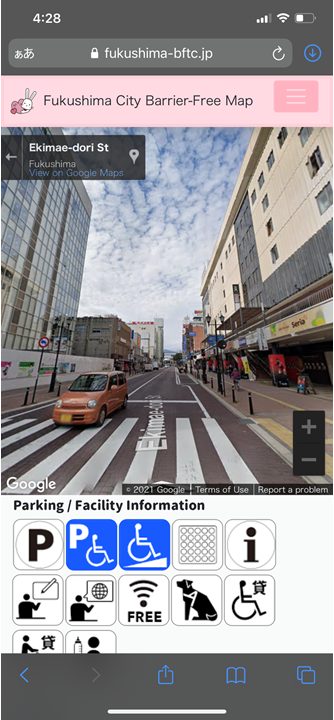
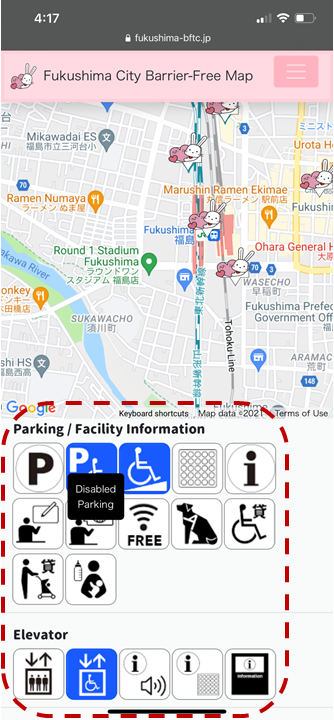
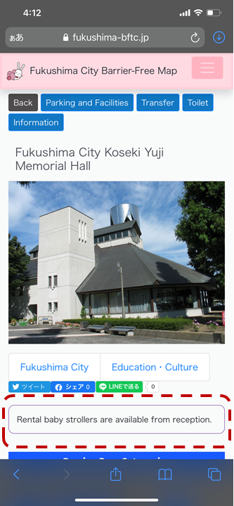
5. Show Facility Information
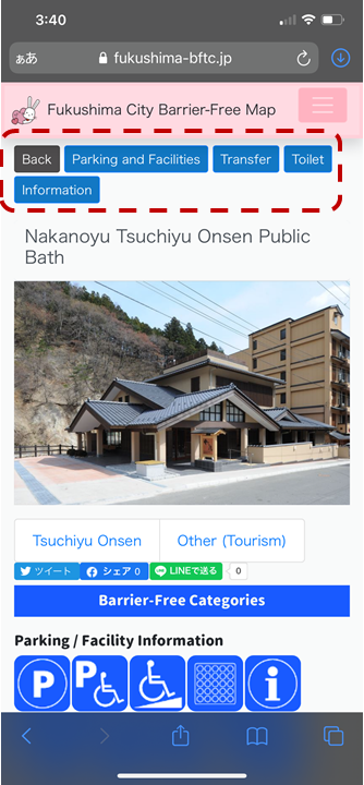
Select a button at the top to scroll to the relevant section. Available barrier-free categories are shown at the bottom in blue.
6. Show Kindness-Support
Additional "kindness-support" information may be available for the facility.
7. Switch to Street View